Finding a parking lot in your area has gotten a whole lot easier with an announcement this morning from parking service company Parkopedia that its detailed parking data is now being used by Apple Maps across North America, Europe, Asia and Latin America. Parkopedia offers detailed information on more than 40 million parking spaces in 75 countries and Maps users on the iPhone, iPad and iPod touch can now view detailed information about parking garages and lots around the world.
Apple Maps
Apple Maps Transit data expands to San Diego, British Columbia, Honolulu and Kansas City
Transit directions on Apple Maps are now available in four new markets: San Diego, Honolulu and Kansas City in the United States and British Columbia, Canada’s westernmost province. Now Apple fans can incorporate localized public transportation options in those locations, including buses and commuter rails, when seeking directions through the Maps app.
Apple Maps expands Flyover coverage, adds Traffic/Transit data for multiple locales
Flyover, a three-dimensional birds-eye view in Apple Maps, is now available in an additional thirty cities and popular tourist destinations in the United States and around the world. In addition, Transit and Traffic data in Maps is now available in several new cities.
Flyover takes advantage of a fleet of airplanes that photograph points of interest from multiple angles. These photos are then used to derive depth information from them to recreate buildings, landmarks and other objects in 3D space.
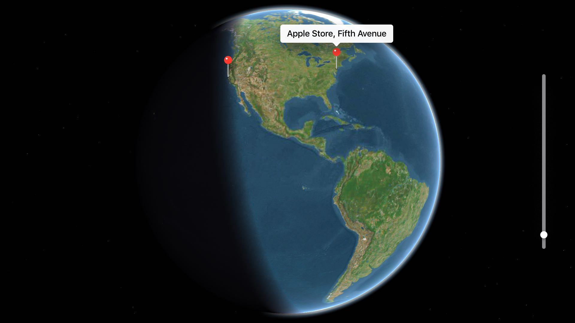
Former Embark CEO leaves Apple nearly three years after acquisition

David Hodge, former Founder and CEO of a company that Apple acquired in 2013 called Embark, announced today on Twitter that he has departed the company. At the time of the acquisition, Embark had transit data on large cities such as Chicago, New York, and San Francisco and had apps considered to be some of the best in their class. This data and the technology used in Embark apps have since helped improve the transit feature of Apple's Maps app.
Apple announces Maps development office in India, creating up to 4,000 jobs

As part of Tim Cook's packed schedule during his visit to India, Apple today confirmed it's opening a new facility in Hyderabad, that will focus on Maps development and employ up to 4,000 people. The new facility, located on the Waverock campus, will provide “a world-class, LEED-certified home for the expanding Maps team,” said the Cupertino firm.
Apple’s boss to unveil Maps development center and iOS accelerator program in India

After visiting China yesterday to meet the country's officials and promote a $1 billion acquisition of the local ride-sharing service Didi Chuxing, Apple's boss Tim Cook is touring India today and is planning to meet Prime Minister Narendra Modi.
He is also expected to unveil a development center for Apple Maps in the country along with an accelerator program for iOS developers, Bloomberg reported today.
Be a virtual tourist: take scripted 3D tours of world’s major metropolises on Apple Maps

You knew about three-dimensional buildings and landmarks on Apple Maps—a feature they're calling Flyover mode. But did you know that Apple's mapping service includes virtual tours of more than a hundred major metropolises worldwide? If not, that's because Apple hasn't exactly gone to great lengths to advertise it front and center in the Maps interface.
These virtual tours are basically auto-playing animations in Flyover mode, complete with three-dimensional buildings, terrain and landmarks. They're quite useful if you're visiting a city for the first time, though virtual tourists who want a quick overview of a major city will also find them fun and entertaining.
Here's how you can explore and enjoy 3D Flyover Tours on Apple Maps for the iPhone, iPod touch, iPad and Mac.
All the ways to zoom in and out on Apple Maps

Discover all the handy ways to use your fingers, trackpad, or mouse to zoom in and out of Apple Maps on your iPhone, iPad, or Mac.
Sacramento, California gains transit directions on Apple Maps
Having recently rolled out support for transit directions for Sydney Trains in Australia's New South Wales and for buses, subways, commuter rails and other transportation options in Seattle, Portland, Oregon and Montreal, the second-largest city in Canada, the Transit feature is now available to Apple Maps customers who live in Sacramento, California. To use transit directions on Apple Maps, simply enter navigation mode and then tap the Transit button, if available.
Spotlight Suggestions hit Denmark, Norway and Sweden, new Flyover and Transit data on Maps
Another day, another content expansion for Apple Maps. Less than 24 hours after bringing TrainLink and bus routes to commuters in New South Wales, Australia, Apple's mapping service has expanded its footprint with new three-dimensional Flyover content for Akron, Ohio and Puerto Vallarta, Mexico.
Apple's also brought Spotlight Suggestions to the iPhone, iPod touch, iPad and Mac customers in Europe's Denmark, Norway and Sweden.
Last but not least, traffic information on Maps has gone live in Thailand, bringing the total number of markets where this feature is available to 34 countries, as per Apple's iOS 9 Feature Availability webpage.
Apple Maps adds TrainLink and bus routes for Australia’s New South Wales
After previously introducing limited transit support for Sydney Trains in Australia, Apple's now expanded transit directions in the country with the addition of TrainLink and bus routes for both Sydney and New South Wales, Mac Prices Australia discovered.
With a silent backend update, Apple Maps customers in New South Wales can now start taking advantage of public transport information for trams, series and interstate services, including buses and trains, while detailing stations with entry points.
Use Apple Maps and plan trips on the big screen with TV Maps for Apple TV
Since learning that Apple's software development kit now includes a new MapKit framework for tvOS, I've been eagerly awaiting to see what Apple TV developers are going to do with it. I salivated at the prospect of Apple Maps on a big screen telly because it sounded too good to be true.
Even better, Apple's SDK supports advanced features like map annotations, adding overlays and performing reverse-geocoding lookups to determine placemark information for map coordinates, among other features.
With TV Maps by Arno Appenzeller—to my knowledge, this is one of the first of MapsKit-enabled apps for the new Apple TV—you can browse Apple Maps from the comfort of your couch. At long last, planning trips on the big screen has become a reality for those of us who're invested into the Apple ecosystem. The experience of using maps on a television is much cooler than you could imagine: this is the first tvOS app that has made me wish that the Apple TV supported hand gestures so that I could explore maps Minority Report-style.