Transit

Apple Maps launches transit directions for Paris

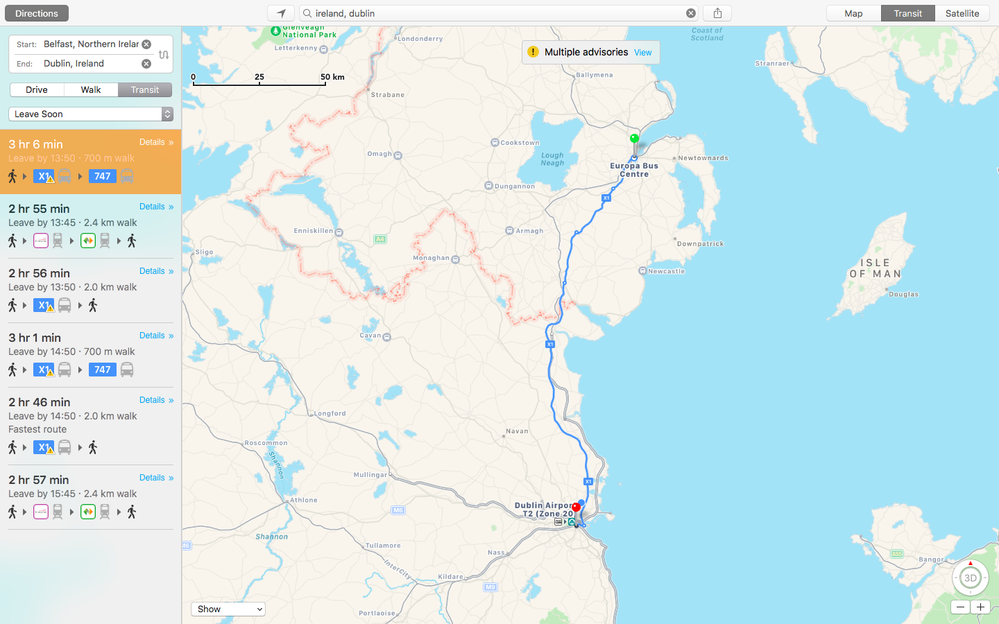
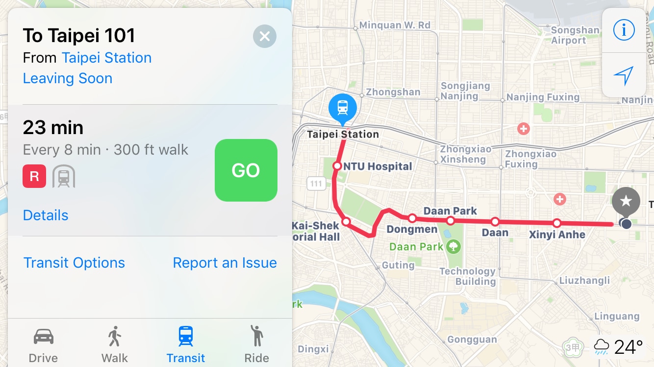
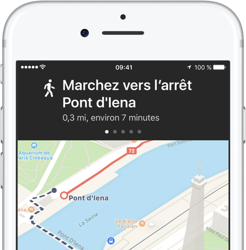
Apple has added transit options to its Maps app for the city of Paris, TechCrunch reported Monday. Customers can now use Apple Maps on their iPhone, iPad, iPod touch, Mac and Apple Watch to calculate itineraries using the available public transportation options which include subway, RER and busses lines, among others.

Apple Maps brings real-time traffic conditions to customers in Argentina

Apple Maps now provides real-time traffic conditions to customers in Argentina, according to Apple's refreshed iOS Feature Availability webpage.

Apple Maps will now denote highly congested areas with orange or red lines along the roads, helping drivers avoid any delays. With today's update, real-time traffic conditions are now available in a total of four Latin American countries via Apple Maps: Argentina, Brazil, Chile and Mexico.

Transit directions for New Orleans launch on Apple Maps ahead of Mardi Gras

As first noted by MacRumors, Apple's Maps service has rolled out transit directions in New Orleans ahead of Mardi Gras. With the update, customers who live in the New Orleans, Louisiana metropolitan area can now get directions using public transportation options such as RTA buses and streetcars, Jefferson Transit buses and Amtrak trains and busses. Apple Maps is available on iPhone, iPad, iPod touch, Apple Watch and Mac. Just a week ago, Apple Maps rolled out transit directions for the Houston, Texas metropolitan area ahead of Super Bowl.

Apple Maps transit directions live for iOS 10.1 beta users in Japan ahead of launch

Apple is currently beta-testing the first major update to iOS 10 since its public release last month. Aside from a Portrait shooting mode for iPhone 7 Plus owners and a new toggle in Settings to allow Messages animations when Reduce Motion is enabled, the software update should bring official support for transit directions in Japan within the stock Maps application, Japanese blog Ata Distance said today.

Bloomberg: Apple working on getting Apple Pay into more public transit systems

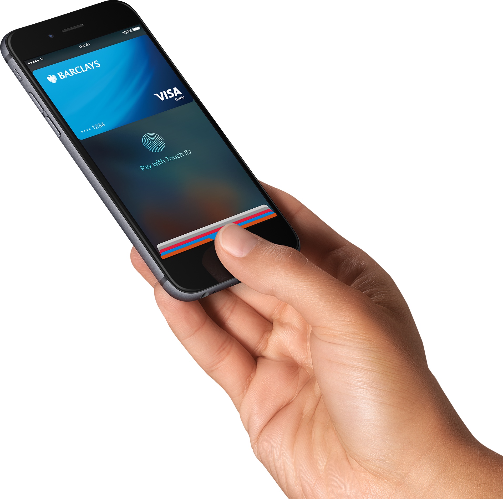
Apple has been working on getting its mobile payments system, which expanded into Russia earlier this month, into more public transit systems, Bloomberg reported Tuesday.

Thanks to FeliCa-compatible NFC chips inside iPhone 7 and Apple Watch Series 2 models sold in Japan, Apple Pay will be gaining support for Japanese railway JR East later this month through its dedicated Suica payment system.

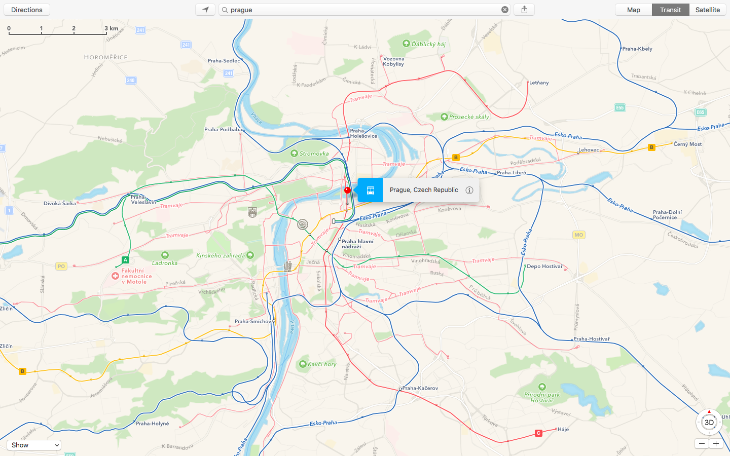
Apple Maps Transit directions launch in Prague

Apple customers in Prague, Czech Republic, can now use the firm's stock Maps app on an iPhone, iPad, iPod touch or Mac to take into account local transit directions when planning their routes. Apple Maps transit data just launched in Prague with support for the city's busses and trams and the Prague Metro and Esko Prague commuter rail.

Apple Maps expands Flyover coverage, adds Traffic/Transit data for multiple locales

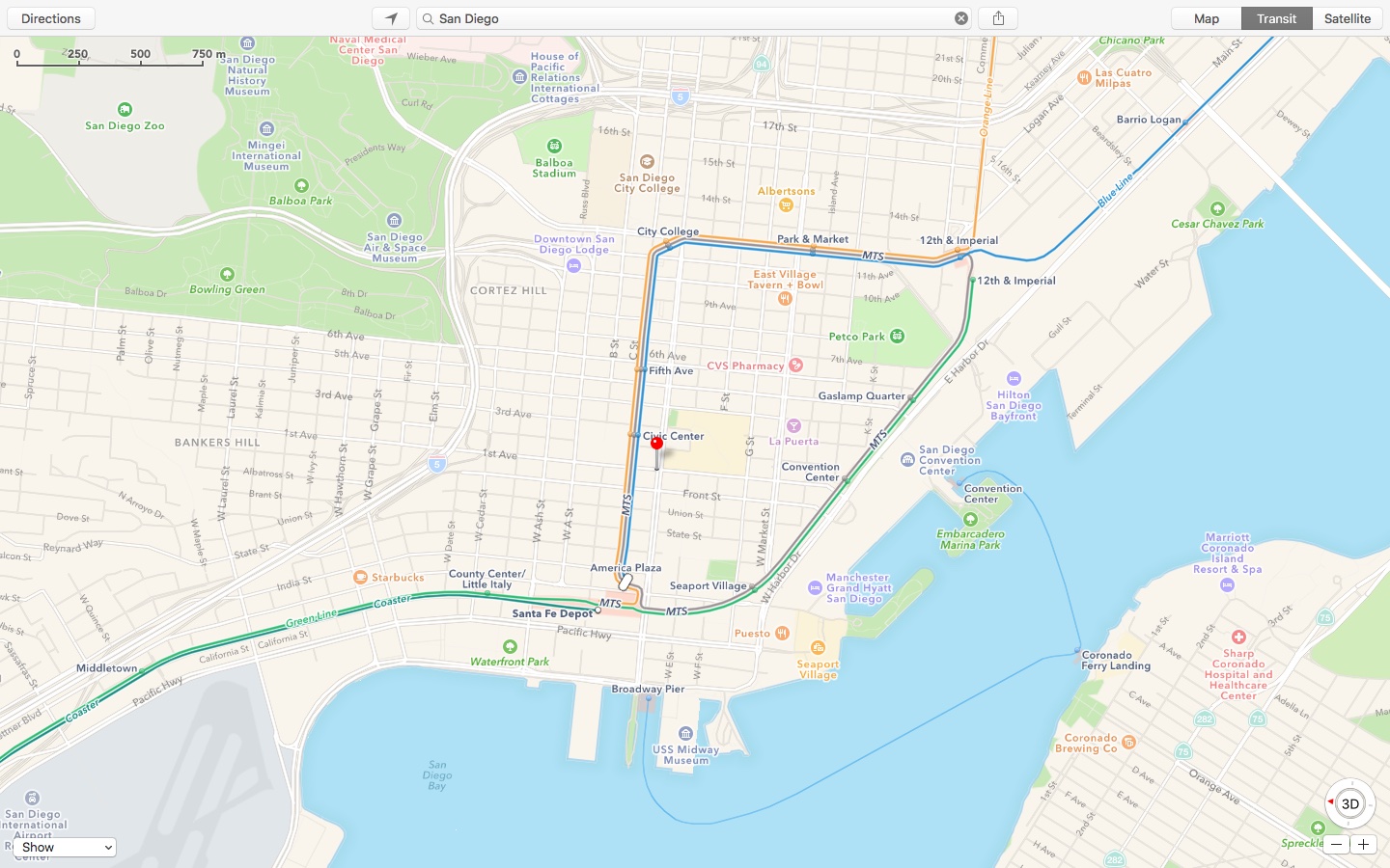
Flyover, a three-dimensional birds-eye view in Apple Maps, is now available in an additional thirty cities and popular tourist destinations in the United States and around the world. In addition, Transit and Traffic data in Maps is now available in several new cities.

Flyover takes advantage of a fleet of airplanes that photograph points of interest from multiple angles. These photos are then used to derive depth information from them to recreate buildings, landmarks and other objects in 3D space.