Transit directions

Apple Maps launches transit directions for Paris

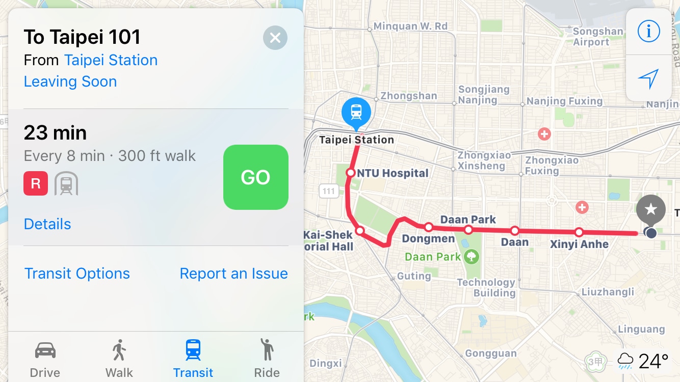
Apple has added transit options to its Maps app for the city of Paris, TechCrunch reported Monday. Customers can now use Apple Maps on their iPhone, iPad, iPod touch, Mac and Apple Watch to calculate itineraries using the available public transportation options which include subway, RER and busses lines, among others.

Transit directions for New Orleans launch on Apple Maps ahead of Mardi Gras

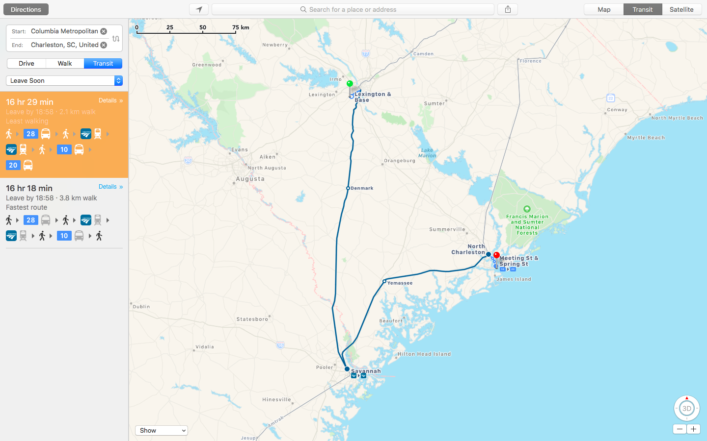
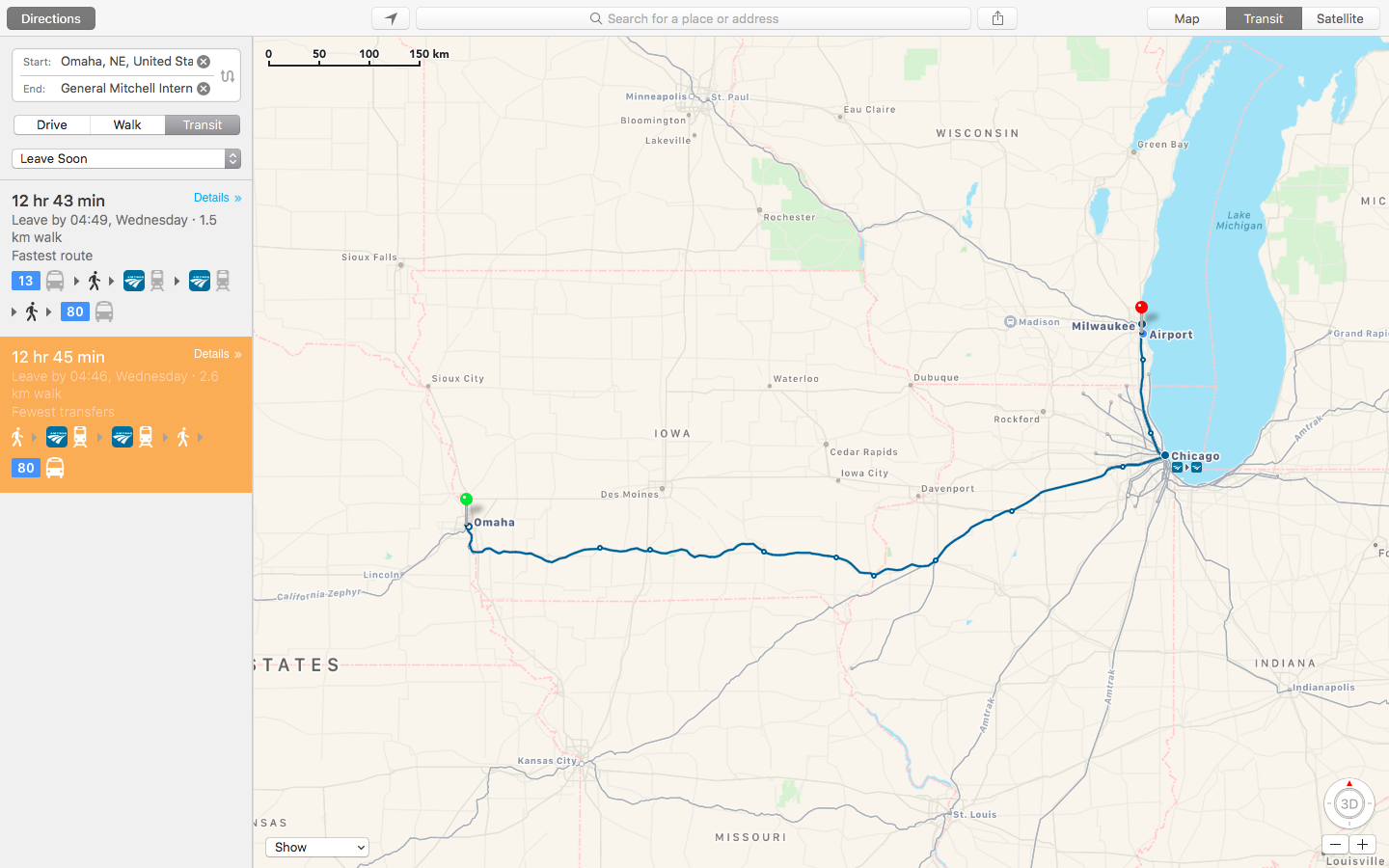
As first noted by MacRumors, Apple's Maps service has rolled out transit directions in New Orleans ahead of Mardi Gras. With the update, customers who live in the New Orleans, Louisiana metropolitan area can now get directions using public transportation options such as RTA buses and streetcars, Jefferson Transit buses and Amtrak trains and busses. Apple Maps is available on iPhone, iPad, iPod touch, Apple Watch and Mac. Just a week ago, Apple Maps rolled out transit directions for the Houston, Texas metropolitan area ahead of Super Bowl.

Apple Maps transit directions live for iOS 10.1 beta users in Japan ahead of launch

Apple is currently beta-testing the first major update to iOS 10 since its public release last month. Aside from a Portrait shooting mode for iPhone 7 Plus owners and a new toggle in Settings to allow Messages animations when Reduce Motion is enabled, the software update should bring official support for transit directions in Japan within the stock Maps application, Japanese blog Ata Distance said today.

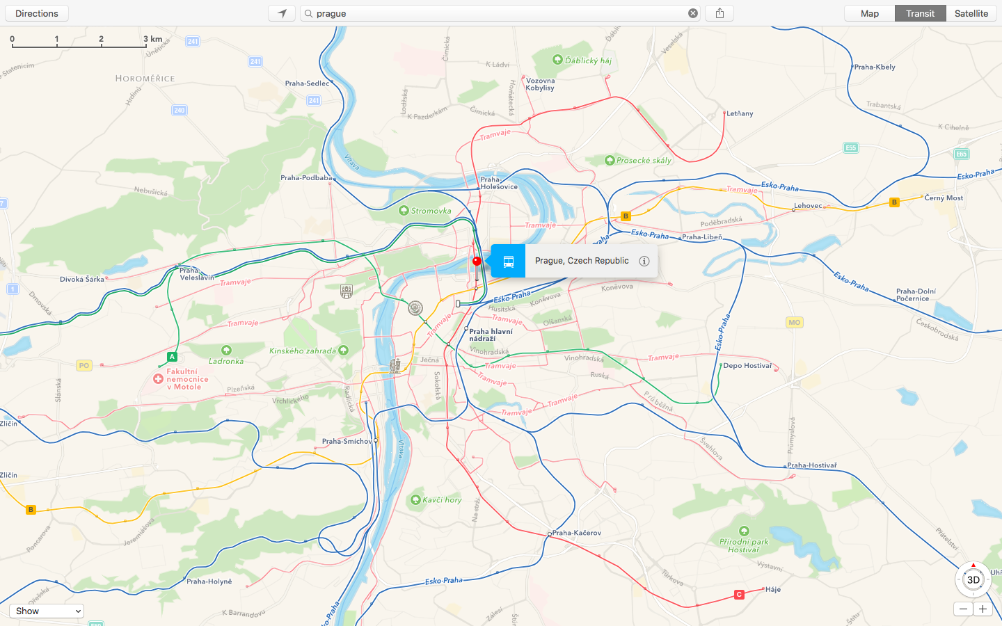
Apple Maps Transit directions launch in Prague

Apple customers in Prague, Czech Republic, can now use the firm's stock Maps app on an iPhone, iPad, iPod touch or Mac to take into account local transit directions when planning their routes. Apple Maps transit data just launched in Prague with support for the city's busses and trams and the Prague Metro and Esko Prague commuter rail.

Former Embark CEO leaves Apple nearly three years after acquisition

David Hodge, former Founder and CEO of a company that Apple acquired in 2013 called Embark, announced today on Twitter that he has departed the company. At the time of the acquisition, Embark had transit data on large cities such as Chicago, New York, and San Francisco and had apps considered to be some of the best in their class. This data and the technology used in Embark apps have since helped improve the transit feature of Apple's Maps app.

Sacramento, California gains transit directions on Apple Maps

Having recently rolled out support for transit directions for Sydney Trains in Australia's New South Wales and for buses, subways, commuter rails and other transportation options in Seattle, Portland, Oregon and Montreal, the second-largest city in Canada, the Transit feature is now available to Apple Maps customers who live in Sacramento, California. To use transit directions on Apple Maps, simply enter navigation mode and then tap the Transit button, if available.

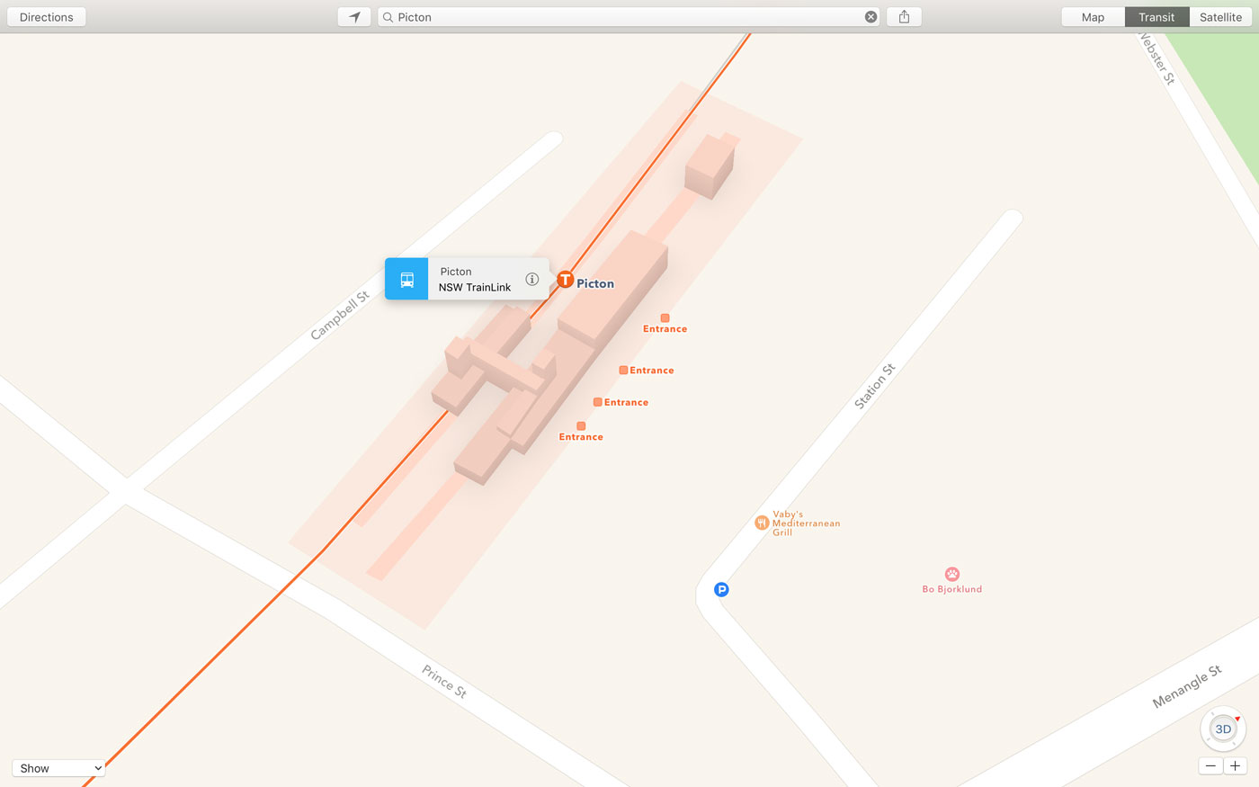
Apple Maps adds TrainLink and bus routes for Australia’s New South Wales

After previously introducing limited transit support for Sydney Trains in Australia, Apple's now expanded transit directions in the country with the addition of TrainLink and bus routes for both Sydney and New South Wales, Mac Prices Australia discovered.

With a silent backend update, Apple Maps customers in New South Wales can now start taking advantage of public transport information for trams, series and interstate services, including buses and trains, while detailing stations with entry points.

Google Maps revamps transit directions, adds image galleries and new sharing options

Google Maps for iOS has been refreshed in the App Store with a trio of useful new features ahead of a brand new native Street View for iOS app due in mid-August.

Google Maps for iPhone and iPad now sports revamped public transport directions while adding new choices for alternate routes and real-time data about your arrival time.

Newly added sharing features include options to post Google Maps locations to Facebook and send map URLs to your Facebook Messenger friends. There's also a brand new image gallery which presents various photos of a location in a grid view.