Find out how to set your iPhone to automatically open Google Maps, Apple Maps, or some other app the moment you start wired or wireless CarPlay.
Google Maps
How to share your live location with others from your iPhone

Find out how to share your real-time live location continuously for a few minutes, hours, or indefinitely from your iPhone with family members and friends who either have an iPhone or an Android phone.
This will allow the other side to see your current and changing location at all times, helping them keep track of your progress.
How to set up permanent location sharing between iPhone and Android

Keep track of your family members and friends’ locations at all times by enabling continuous location sharing between iPhone and Android phone.
Google Maps can save locations found on your screenshots in a dedicated list

Google Maps for iPhone has picked up a new feature that scans the screenshots in your iPhone's Photos app library to find locations and save them in a dedicated list.
EU iPhone: Replace Google Maps with Apple Maps as the default navigation app
With the latest version of the Google Maps app available in the App Store, EU iPhone owners can set it as their default navigation app instead of Apple Maps.
How to label places and locations in Google Maps on phone or computer

Learn how to create private labels for locations in Google Maps on your iPhone, Android phone, or computer, making it easier to find them on the map without searching for the official name.
This jailbreak tweak lets you rename the Gulf of America back to Gulf of Mexico, or anything else you want

In case you missed it, Apple Maps, Google Maps, and other United States-based mapping apps renamed the Gulf of Mexico to the Gulf of America following an executive order issued by current United States President Donald Trump.
Google Maps for iPhone has removed the Go and Updates tabs for a cleaner look

Google Maps for iOS has gained improved navigation by dropping the Go and Updates tabs after the Android version did the same in July.
iOS 18: “Search here” on Apple Maps is just like “Search this area” on Google Maps

iOS 18 introduced a small but useful search tweak when finding places like restaurants and gas stations with a Google Maps-like “Search here” button.
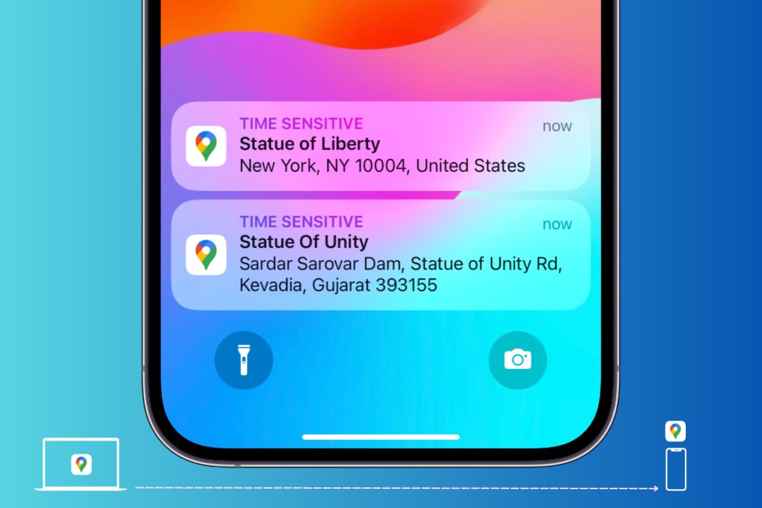
Google Maps testing navigation directions on the Lock Screen and in Dynamic Island
Google Maps is testing a new navigation experience with turn-by-turn directions via Live Activities on the iPhone's Lock Screen and in the Dynamic Island.
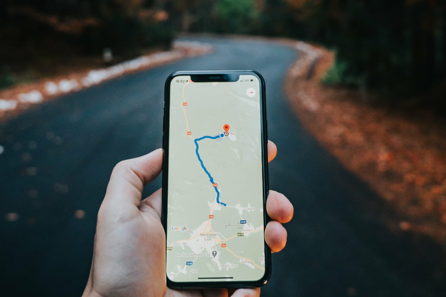
Send a Google Maps location from computer to phone
Learn how to send locations of your favorite restaurants, stores, and other places of interest from Google Maps on your computer to your iPhone or Android phone.
Chrome for iOS: How to use Google Maps, Lens, Translate and Calendar integrations
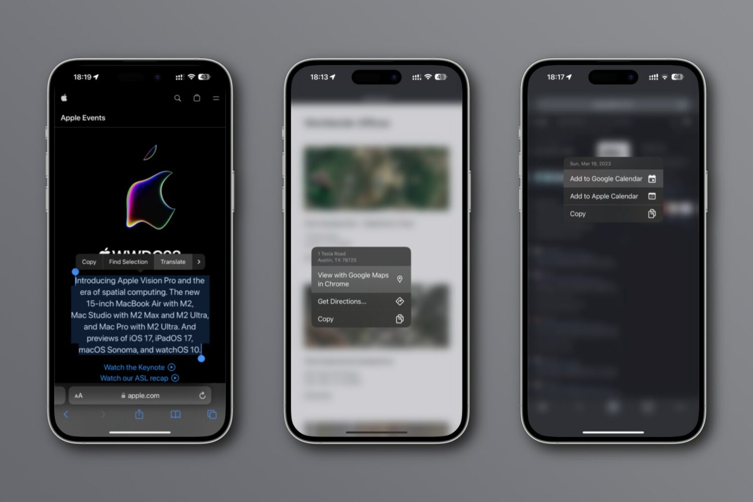
New integrations in Chrome for iPhone and iPad let you look up an address on a mini Google map, translate webpages, search using images, etc.