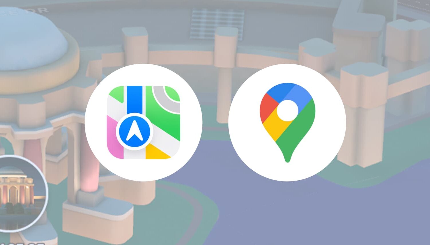
With the latest version of the Google Maps app available in the App Store, EU iPhone owners can set it as their default navigation app instead of Apple Maps.
EU iPhone: Replace Google Maps with Apple Maps as the default navigation app
With the latest version of the Google Maps app available in the App Store, EU iPhone owners can set it as their default navigation app instead of Apple Maps.
The upcoming iOS 18.4 software update enables iPhone owners living in the European Union (EU) to change the default app used for navigation.
Apple's upcoming iOS update might permit iPhone owners in the European Union (EU) to set default apps for navigation and translation.

Google Maps for iOS has gained improved navigation by dropping the Go and Updates tabs after the Android version did the same in July.

Residents of Tokyo, Japan, can now use public transportation with real-time transit information, including delays, displayed by Apple Maps right on their iPhones.
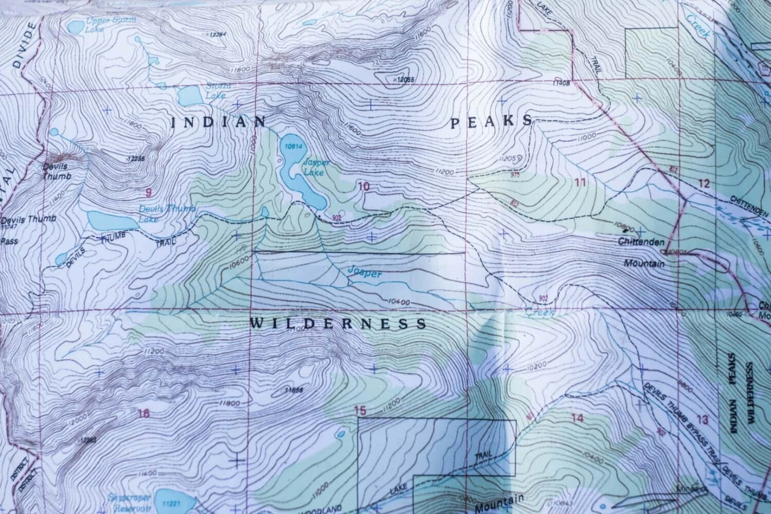
Topographic maps in iOS 18's Maps app should provide more precise navigation for outdoor activities, such as hiking, camping and fishing.
Google Maps is testing a new navigation experience with turn-by-turn directions via Live Activities on the iPhone's Lock Screen and in the Dynamic Island.
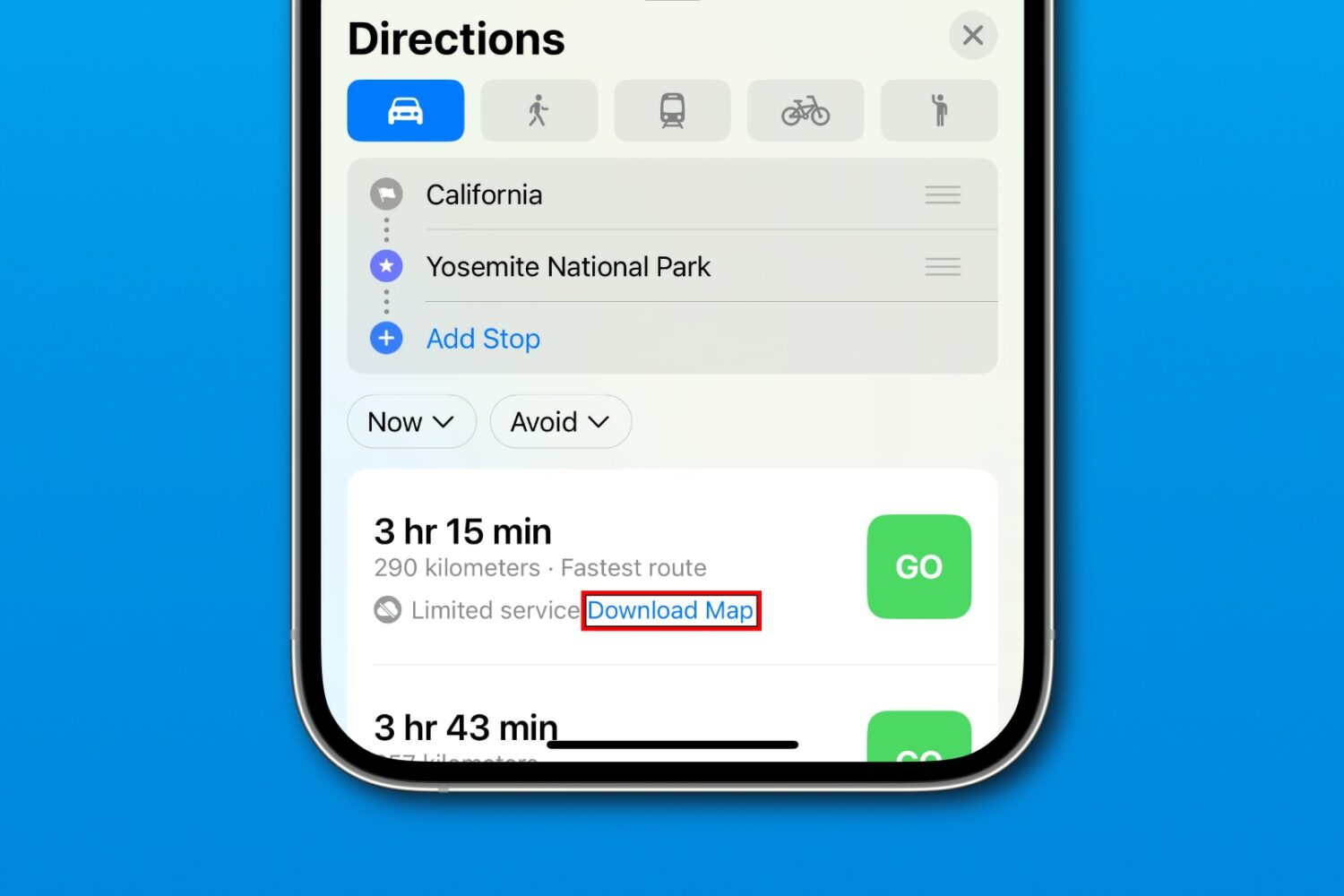
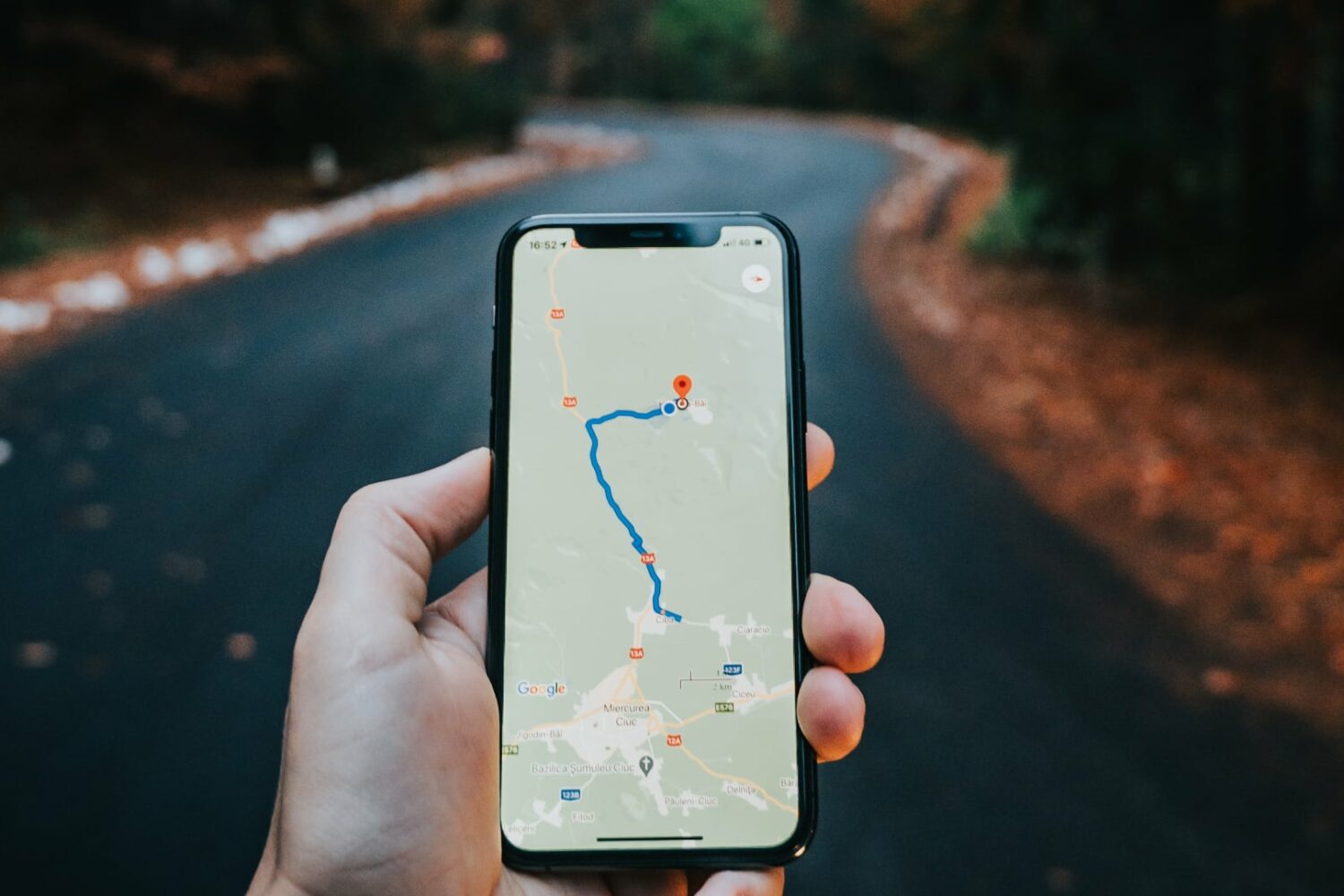
iOS 17’s Apple Maps prompts you to download an offline map when requesting navigation directions to an area with poor cellular reception or Wi-Fi coverage.
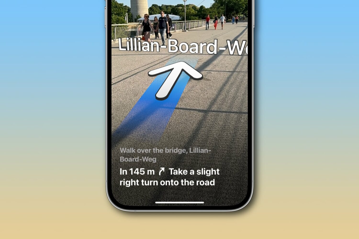
Learn how to get augmented reality walking directions in Apple Maps on your iPhone, and know where to go with the help of immersive instructions made up of big arrows and street names shown right on your live camera view.
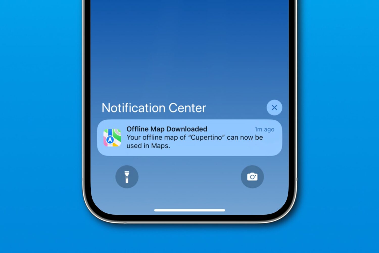
Download a custom region in iOS 17's Apple Maps to navigate offline on your iPhone, iPad or Apple Watch, search for nearby places, and more.
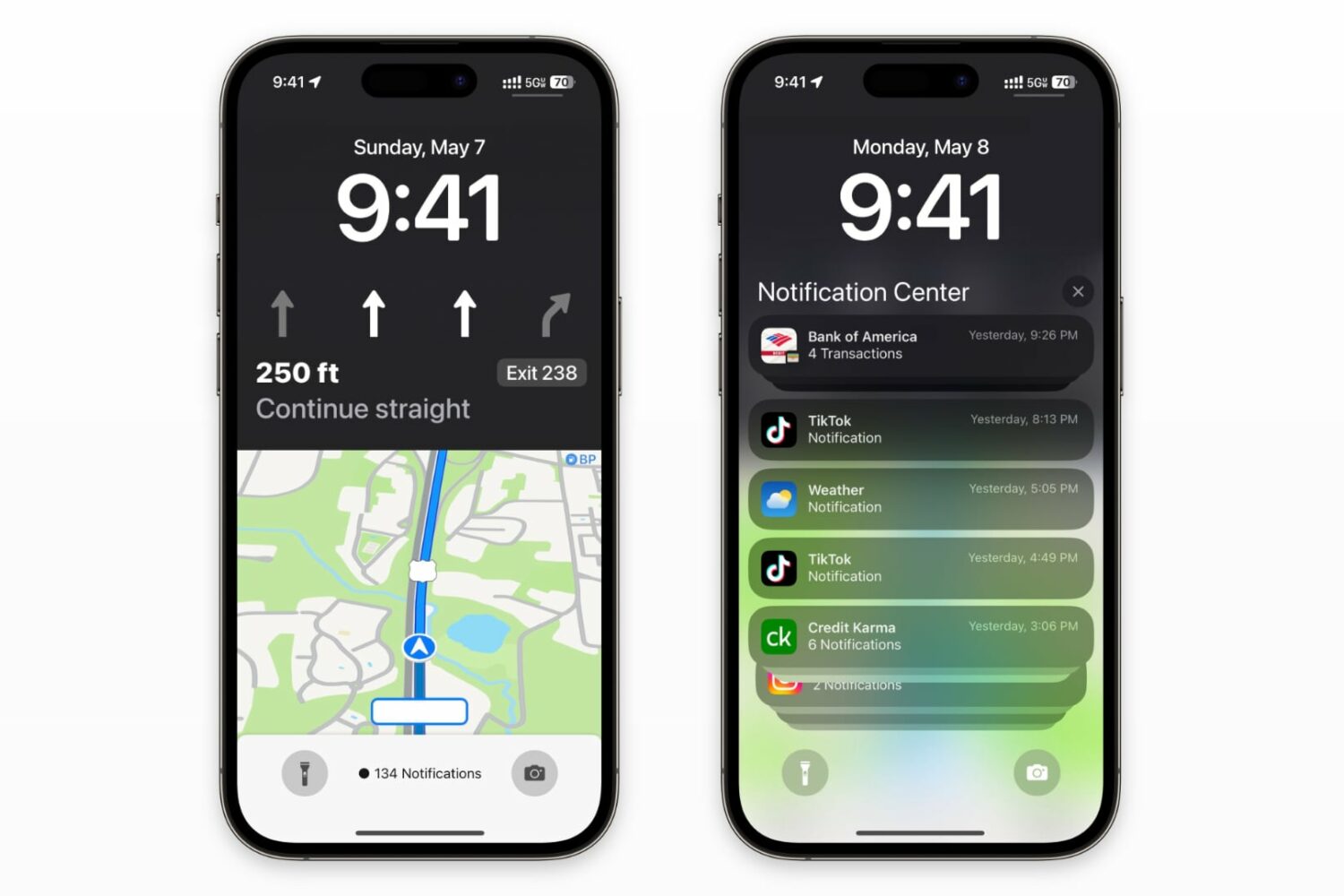
You'll be able to navigate with the Maps live activity widget and still see notifications and the date/time on your iPhone's Lock Screen.
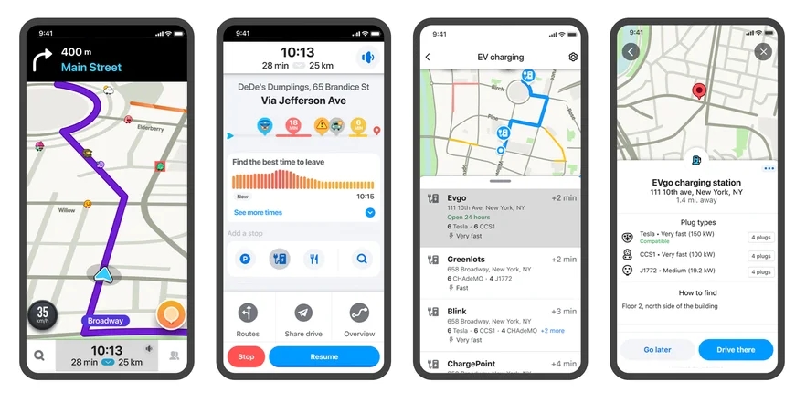
Based on its crowdsourced map-editing feature, the mobile Waze app now displays accurate information about EV charging stations along your route.