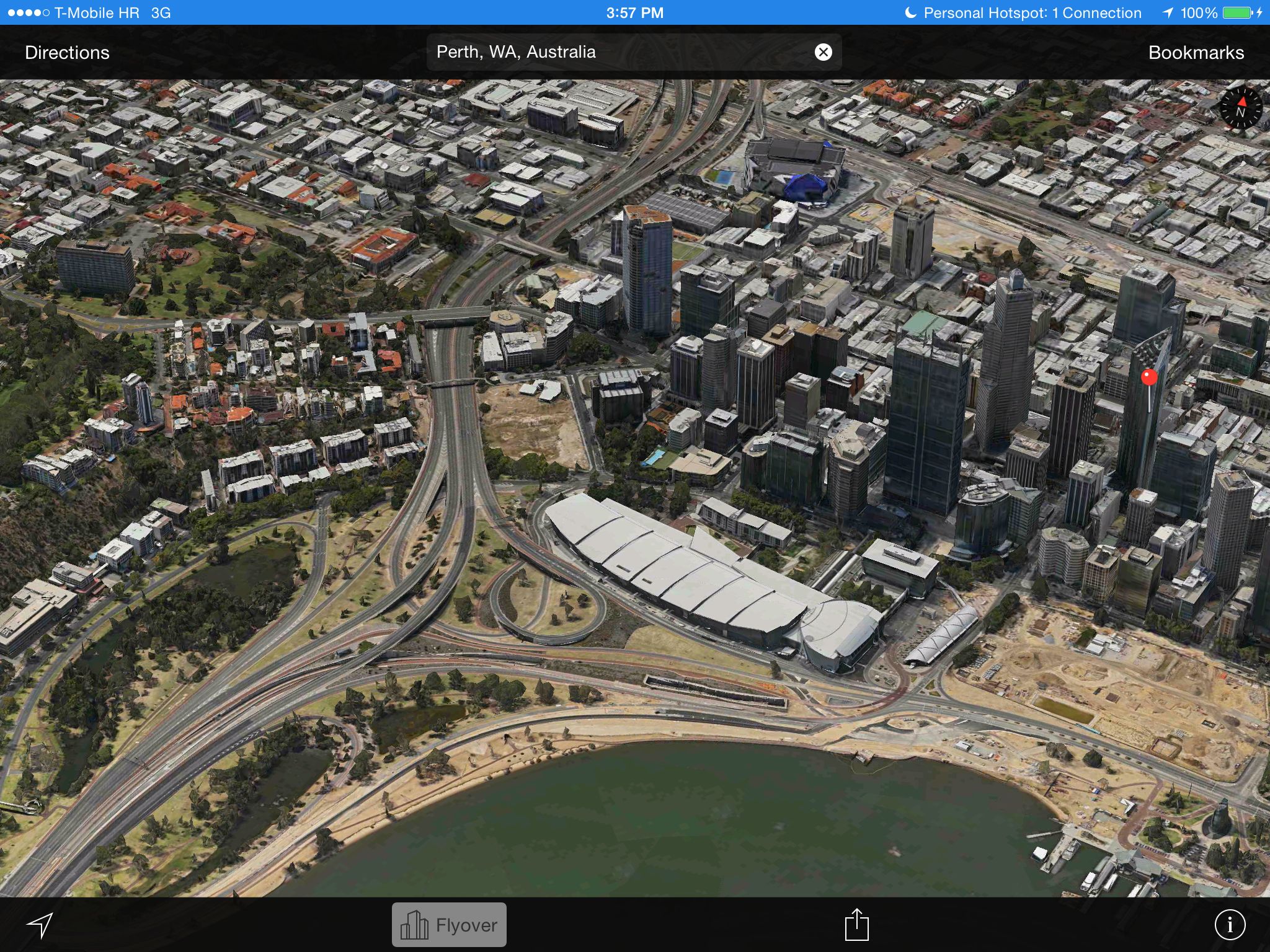
Apple has added to its struggling Maps service cool three-dimensional Flyover views for three major new cities in Australia and Europe.
Starting today, anyone can rotate and zoom in on the architectural details and explore the topography of Australia’s Perth, Spain’s Cordoba and France’s Saint Tropez.
The company’s been dutifully expanding 3D Flyover coverage in more place around the world. Back in January, folks living in the cities of Marseille, France; Cape Town, South Africa; and Helsinki, Finland started seeing 3D Flyover maps in Apple Maps on iOS and OS X…
New Flyover cities were first reported by MacPrime.ch.
Pictured top of post: Flyover view of Australia’s Perth.
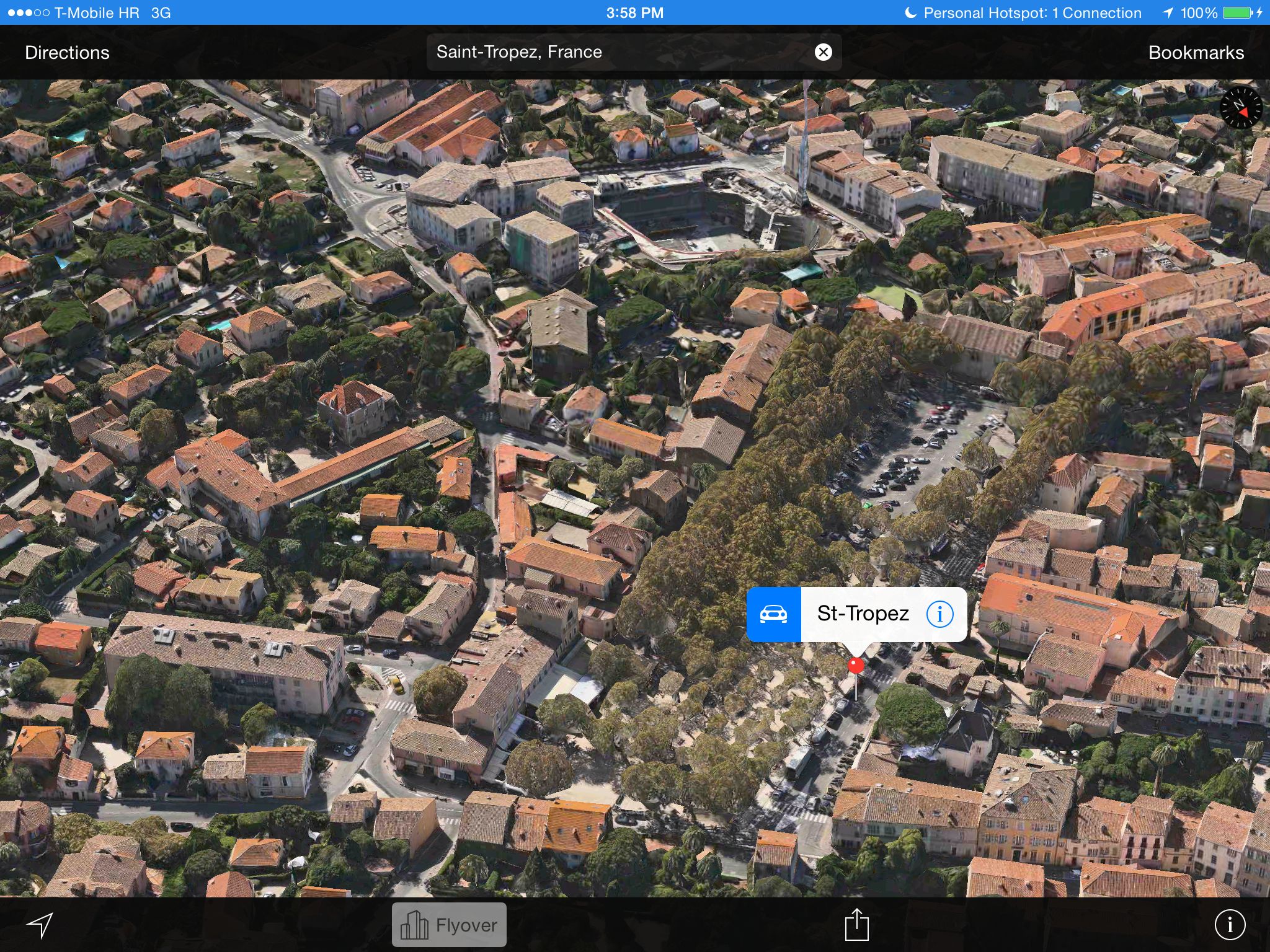
Saint Tropez in France.
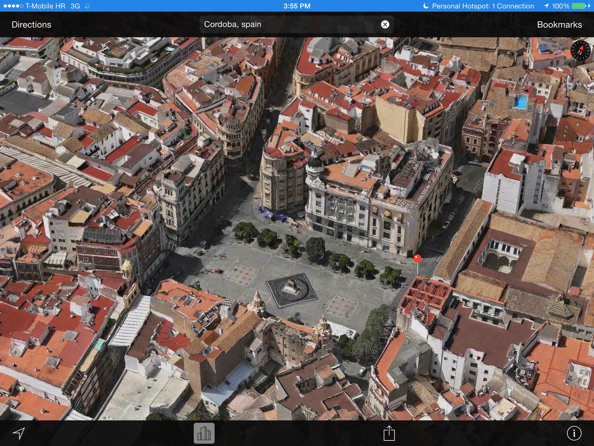
Cordoba in Spain.
A list of Flyover-enabled locations is available on Apple’s website.
As of this writing, Flyover maps were live in 53 cities around the world.
First released alongside iOS 6 two years ago as part of the ill-fated Apple Maps offering, Flyover maps are painstakingly created from data gathered from Apple’s fleet of planes which capture high-resolution terrain imagery at multiple angles.
Apple Maps should be enhanced with several new features in iOS 8, including public transit information, more accurate terrain data, a new vehicle-finding feature and more.
According to Apple’s job post, a secret Maps project is in the works, with a patent indicating a bunch of new mapping layers. Another job post hinted at transit data being implemented.
The iPhone maker’s recent $350 million acquisition of motion gesture firm PrimeSense prompted speculation that PrimeSense’s motion-sensing gestural technology could be used strategically to improve Maps accuracy.
How’s Apple Maps been for you in terms of accuracy and reliability?
Has Apple enabled 3D Flyovers in your area?