Monday, Fast Company interviewed CEO Tim Cook and other Apple executives, with Cook revealing that public iOS betas actually exist to help improve the Maps service, which was widely panned and ridiculed over egregious inaccuracies shortly after its September 2012 debut.
Today, the publication interviewed Eddy Cue, Apple’s boss of Internet Software and Services, and Craig Federighi, who is Apple’s chief of Software Engineering, on learning from Maps failures.
Here’s what they had to say about improving Maps over the years.
Noting no one is developing maps “in a significant” way except Apple and Google, Eddy Cue said that everyone else, including Nokia, TomTom and Uber, is doing it “with a very narrow focus.” In Apple’s view, Maps is a crucial component of the user experience, basically “a core organizing structure for the physical world in which you interact.”
Because many apps use maps, Apple’s executive team had to make the decision and they knew they didn’t want Apple to depend on a third-party like Google for mapping.
Maps development and maintenance is a very time-consuming process which never stops, said Cue, because each and every day businesses are opening and closing, streets are changing, highways are being built and so forth.
“Here’s another thing about Maps: It’s expensive,” said Cue.
Apple has thousands of people working on Maps, he revealed.
It’s very, very expensive, and it doesn’t have a direct revenue stream. So when I say it’s only Google and us who are developing it, well, that’s part of the reason why. You can’t be a company going out and developing maps to make money; at least no one’s figured that out.
To ensure the accuracy of Maps, Apple is crowd-sourcing data from iPhone users. Cue described this data-gathering process by giving the following example:
Let me give you a good example: a golf course. How do we know when a new golf course opens up? We’re not exactly driving around looking for golf courses. But we know it’s there, because there are all these golf apps that get used at a golf course.
If we see that all these golf apps are being used at a particular location, and we don’t show that as a golf course, we probably have a problem. You can discover that pretty quickly. It’s not as if you need a year, or anything like that.
To confirm important places like golf courses and airports, Apple’s so-called ground truth specialists use a variety of sources, including the web, satellite images and more.
“In a worst-case scenario, you would have to drive by,” he quipped, adding:
Airports are the same thing. Runways get developed, but you don’t always really know because many are private. Roads closing, bridges closing—these are really all data problems, because the truth is we don’t really need anyone to tell us that the bridge is closing. The moment a bridge is actually closed, you can immediately see the effect.
When it comes to personal information, an iOS device learns your commute patterns so that it could tell you that you need to leave early because there’s a lot of traffic on your way home, but that intelligence stays locally on the device and is never sent to Apple or synced with iCloud.
“So we keep that intelligence on the device, but we can anonymously track things like traffic patterns,” said Federighi.
Was the team embarrassed by the 2011 Maps debacle?
You bet, said Cue.
Look, the first thing is that you’re embarrassed. Let’s just deal with that one fact of emotion. I mean, these things mean a lot to us. We work really hard, and so you’re embarrassed. In the case of Maps, what it causes you to do is ask: How important is this? Is this a place where we need to triple down or quadruple down, or did we make that mistake because it’s not that important to us?
A big part of the Maps equation is third-party data that Apple obtains for the service from a number of providers, and much of it is inconsistent.
“You’ll get a feed from someone who provides information about restaurants, and they’ll refer to location in a different way, in terms of latitude and longitude, from your base map,” said Federighi.
“There’s a huge data-quality issue there, and I don’t think we initially appreciated all the kinds of technology we would need to do that on an ongoing basis. Going through that lesson in a very public way gave us all the motivation we needed to say we’re going to do this really well.”
The whole piece is a fascinating longform read and you’re wholeheartedly recommended to enjoy it in your own time, or you can save the article for later in Safari’s Reading List, Pocket or some other read-later service.
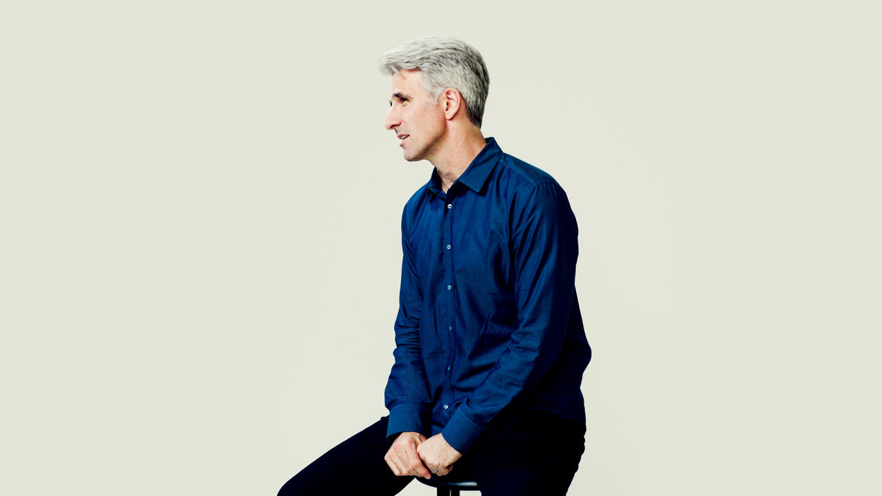
Craig Federighi photo: João Canziani for Fast Company.
Source: Fast Company