Not to be outdone by Apple, which according to the Wall Street Journal will reveal the souped up Maps app with own tiles and breathtaking 3D view next Monday, Google is holding a presser to announce “the next dimension in Maps”. Follow our remote live coverage of Google’s media event to learn about the latest in mapping technologies…
Google is streaming this press event live via YouTube.
[tube]HMBJ2Hu0NLw[/tube]
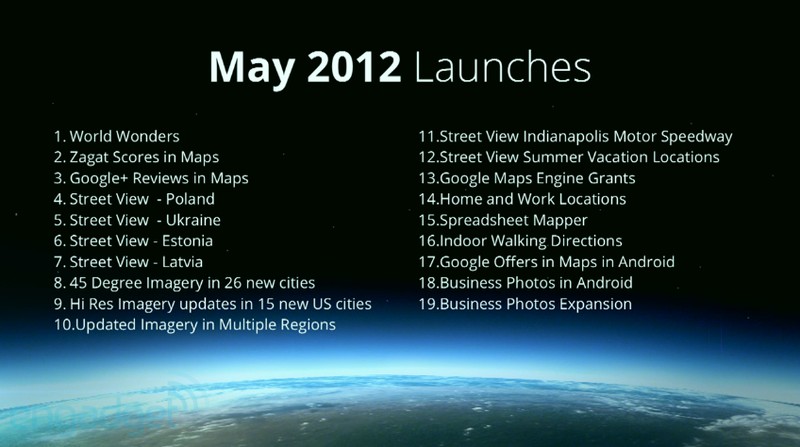
Brian McClendon, Google’s vice president of Google Maps, already teased a couple new features, including custom maps, compass mode, bicycle routes and more imagery.
He’s currently going giving everyone a detailed backgrounder on the history of Google Maps.
Damn it, this guy really needs a take lesson in public speaking – I’m like zzzz.
Google has high-resolution imagery covering approximately 75 percent of the world. A cool five million miles have been driven so far by Street View cars. All told, these vehicles have collected a cool 20 petabytes of high-resolution images.
Rebecca Moore, Program Manager of Google Earth Outreach, is now blabbering about the social good of Maps and how the services helped save a lot of lives:
The Air Force told that because of Google Earth, they saved over 4,000 lives.
Not sure what to make out of this.
McClendon is back on stage
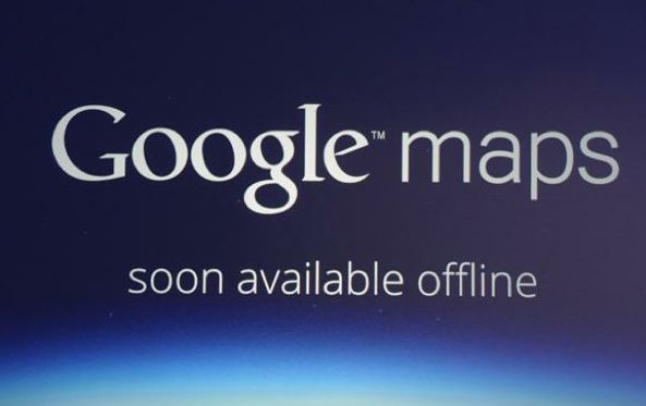
As of today, Google Maps is going offline.
It’s been one of their most requested features.
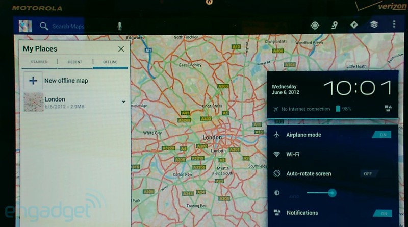
So, now you’ll be able to use Maps without a network connect. The offline feature is coming soon to Android devices. No word of offline maps for the Google Maps iOS client, however.
While offline, you’ll still be able to zoom in, use Street View and access the blue GPS marker and compass.
Here’s how this feature looks like on Android devices.
Speaking of which, this has been a feature in the Labs section since last year.
Here, have a look.
[tube]QO8YeTog5rE[/tube]
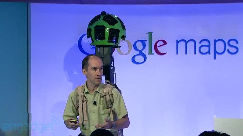
Well, this is cool: Google is showing off a backpack-worn Street View camera that will let them capture street-level imagery in places where you can only walk.
It’s 40 pounds, and includes two batteries that’ll last you all day. It’s Android-powered. We intend to take it to National Parks, the Grand Canyon, castles, ruins, etc.
Looks quite sci-fi, no?
This gizmo should help Google’s teams cover hard-to-reach places with Street View imagery.
We’ve taken this to 50 museums worldwide, and we’re going to more. Recently, we put a bike on a train in the Swiss Alps, and we even put it on snowmobile to capture the Vancouver Olympic sights, and we – over time – solved problems we had with temperatures and vibration. This is our quest to be comprehensive.
For sure.
Now, onto the main event – 3D maps.
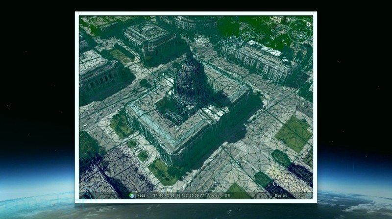
We wanted to model the world in 3D, so we’re using automated technology to extract data from aerial models. It’s really difficult; it’s obviously a very complicated process, but as you can see the results can be amazing.
Apple pundit John Gruber was quick to point out over at his Daring Fireball blog:
Gee, I wonder why they previewed this now, rather waiting until it actually shipped? It does look cool, though.
It all starts with flyovers.
They use multiple aircrafts to take 45-degree images from four different angles. Once special airplanes capture data, Google taps its vast computing power to generate a textured 3D mesh like this one below.
The company details that it has its own planes:
Google does have a fleet of planes with contractors that fly exclusively for Google. And the privacy issues is no different than we’ve had with aerial shots for years.
By the way, Tour Guide is another new feature in Google Earth that provides recommendations while navigating.
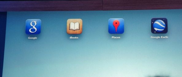
Hey, they’re showing off 3D maps in the Google Earth app on an iPad.
Whoa, the app just crashed – nice!
Google confesses that the 3D mapping process they use is not new. It’s just that the technology has been around for awhile but only caught up recently to do 3D maps a justice.
For comparison, here’s a rapid 3D mapping solution Apple’s allegedly working on, based on a declassified missile targeting technology from SaaB.
[tube]Ix3PFp-XP_M[/tube]
Google isn’t advertising 3D as a game-changer, interesting.
While we can’t create the perfect map, we can get a lot closer than we are today.
So, are 3D maps from Google going to be available on iOS?
Our goal is to get it everywhere. Today, we have over one billion active Google Maps users we’re created a map for the world.
Well, Google was just messing with us, 3D maps are coming to both Android and iOS soon!
Specifically, 3D maps are coming to Android “in coming weeks” and to iOS “when possible”.
On the latter, Google noted:
It’s just a question of when that’ll happen.
Looks like the ball is in Apple’s court now.
3D maps will initially cover “several cities” in the United States. They are planning on covering a “very large number” of cities by the year’s end.
This is probably going to play out is by way of an update to Google’s Earth for iOS app.
We were kinda hoping that Google would rub it in Apple’s face by releasing a brand spanking new mapping app for iOS featuring 3D views.
To its record, Google demoed the feature using both an iPad and an Android device.
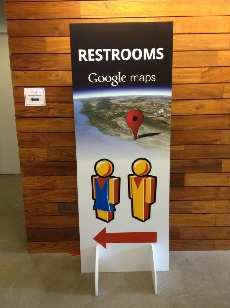
Jokers as they are, Google installed this amusing sign outside the event restrooms.
Of course, it’s entirely possible that Google will release a brand new iOS mapping app with 3D capability.
I wonder if Apple will approve it.
And that’s a wrap everyone.
For more information, check out Google’s announcement post over at the Lat Long blog and a cool video showcasing gorgeous 3D cityscapes in Google Earth.
So, what do you guys think?
