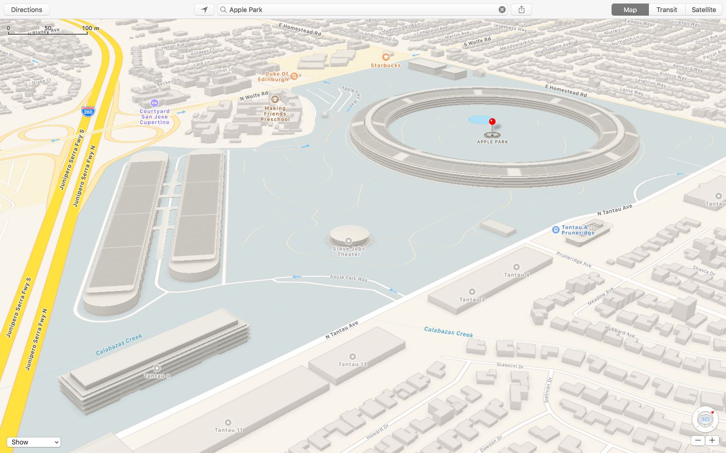
Apple has updated a Maps backend with 3D buildings, campus walkways and other information pertaining to Apple Park, the company’s massive new headquarters in Cupertino, California. As first noted by MacRumors, the enhanced coverage of Apple Park includes 3D building models in the standard 2D view, as well as access roads running in and out of the campus, traffic directions, pedestrian walkways and more.
Other relevant Apple Park points of interest that can now be found on Apple Maps include the Steve Jobs Theater, the research and development facilities, Apple’s fitness center for employees, above-ground parking and a pond at the center of the main building.
Earlier this month, Google added three-dimensional imagery of the main ring-shaped office building that’s a bit out of date. Apple Maps implemented 3D images of the site along with descriptions and searchable geolocation tags back in March 2017.