I live in California. I was born and raised here. I’ve never lived more than three hours from the coast my entire life. Growing up in Southern California, I was raised on earthquake preparedness. Every year we would experience a handful of tremors that would send me scrambling to the nearest doorframe or desk. I’m kind of terrified of earthquakes.
I found that I alleviate my fears, somewhat, if I can keep an eye on the shifting plates below my feet. Knowing what has happened historically helps me plan for the future, or at least makes me think I can. We’ve got a list for you of what we think are the best apps for watching earthquakes for those of you who like to keep an eye on things, too…
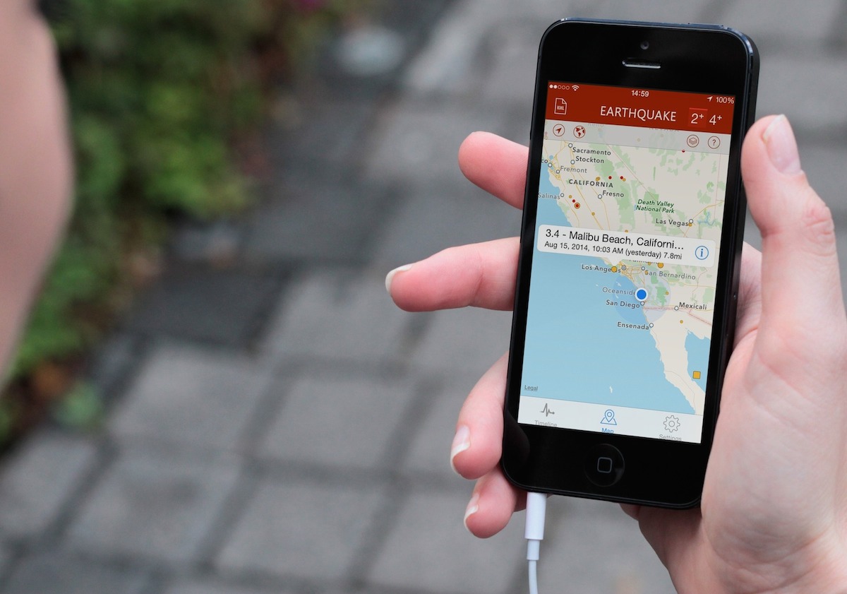
Earthquake
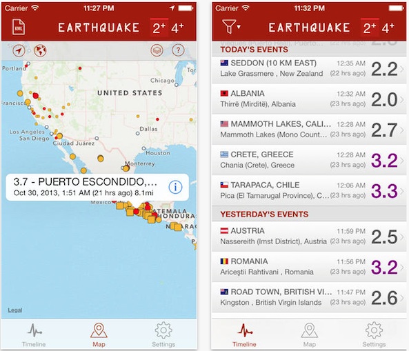
What better way to keep an eye on earthquakes than with an app by the same name. This one features data gathered from the U.S. Geological Survey, GeoNet, and many more. See activity on the map and view markers for seismic activity with color coding for different magnitudes. Filter your search to only see quakes that are of a certain magnitude or localize and get information from specific areas. This app is available for free.
Earthquake by American Red Cross
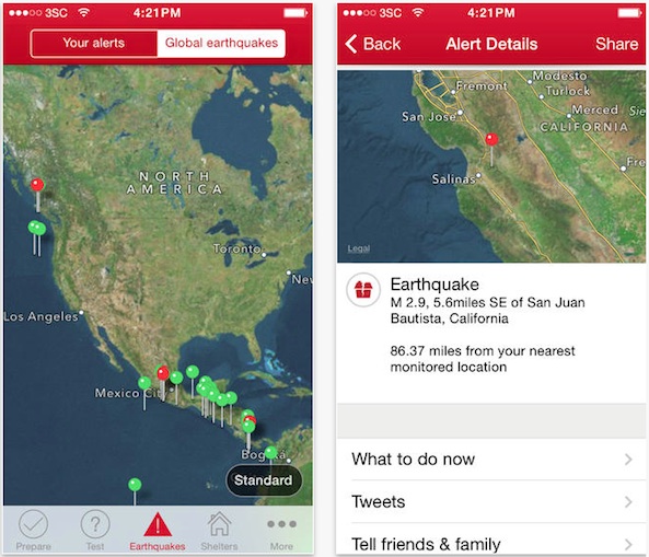
The Red Cross offers more than just a way to track seismic activities. You’ll be able to find out where the nearest shelter is, prepare ahead of time for disasters with the included advice for how to practice an emergency plan, and use the Toolkit to send a strobe signal, activate a flashlight, and send a distress signal. If everything is OK, but you are too busy picking up the pieces to respond to concerned family, send the “I’m Safe” alert to Facebook, Twitter, email, and Text in one tap. This app is available for free.
MyQuake
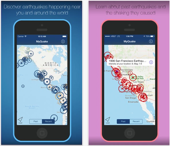
Who better to develop a comprehensive seismic tracking app than a California resident? This one was created by the UC Berkeley Seismological Laboratory team. It brings you customized earthquake information based on your location. You will be able to learn about the history of seismic activity in your area and watch videos showing the effects different magnitudes have on buildings. Of course, you’ll be first to know about real-time earthquake hazard information with geophysical data right from the California Integrated Seismic Network. This app is available for free.
Earthquake Map
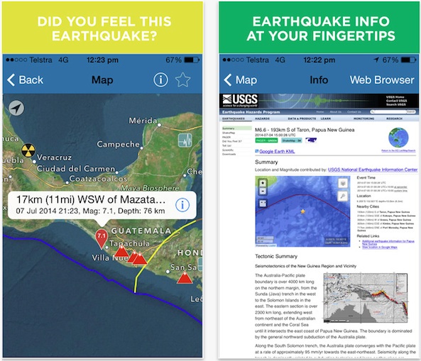
Of course it is important to keep a close watch on those pesky plate shifts, but it is also a good idea to know your earthquake regions. This app shows you the earth’s tectonic plate boundaries, as well as their movement below your feet. You can also find out about volcanic activities and locations of nuclear power plants. This app is available for free.
QuakeFeed
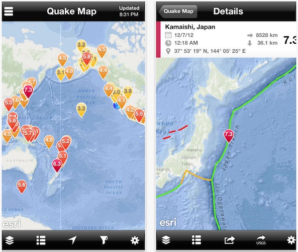
This earthquake map specializes in map layers. You can view any location in the world by street map, topographic map, terrain map, shaded relief map, and more. You can also filter the type of quake by the date, magnitude, distance or depth. Seismic activity is displayed with color-coding by magnitude with links to the US Geological Survey data. Find out about the most recent quakes within seconds of their registration on the USGS monitor. This app is available for free.
Earthquake!
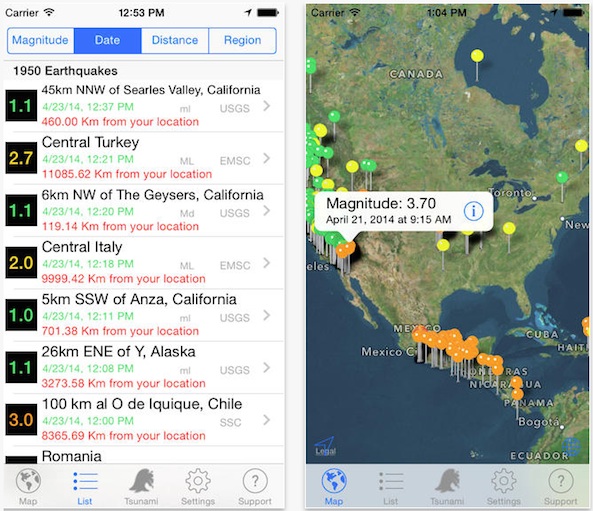
If you really want to be sure you have all of the information available about seismic activity around the globe, this app will help you find what you need. It includes earthquake data from 17 different sources across the world and offers Push notifications for quakes registering above a 4.0 magnitude. Find out the history of seismic activity within a 300 km range of any quake. You can even search for information on earthquakes based on magnitude, depth, and date. This app is available for $1.99.
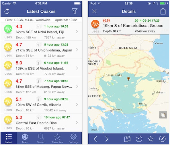
Quake Spotter
You don’t need ESP to be ready for the next big quake. With this app, you’ll be able to keep track of seismic activity for tremors of 1.0 magnitude or higher from around the world. It gathers data from 12 different quake measuring sources and shows activity for thousands of locations. Get live reports from a variety of agencies, see information on seismic activity within 500 km of your current location, and receive Push notification for anything higher than a 4.0. You’ll also be able to receive tsunami alerts so you can keep track of the aftermath of that big one off the coast. This app is available for $0.99.
Earthquake Report
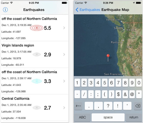
Maybe you don’t need 10 years worth of history of earthquakes around the world. Maybe you just want to know what is going on right now. This app specializes in real-time, regularly updated information on quakes that have happened within the past seven days. When you launch it, you’ll get a list of tremors measuring 2.5 or higher in magnitude. The list includes the location, Latitudinal and Longitudinal coordinates, and the time of the quake. Check out the map view to see where on the earth the tremor took place. Oh, and you can find out a bit of history on seismic activity with the all-time worst earthquakes list. This app is available for free.
Tremor Tracker
![]()
To get a better idea of where seismic activity is taking place in relation to where you are now, this app includes an interactive globe. The quakes are represented by pins. Tap one to see more information on the date, magnitude, location, time, and find out about tsunami warnings. You can filter data to only show earthquakes within a specified time frame. Link directly to a data page about each quake. This app is available for free.
Don’t forget to check out our previous best-of lists
- Best business card scanner apps for iPhone
- Best apps for shooting and editing videos
- Best dating apps for iPhone
- Best email apps for iPad
- Best email apps for iPhone
- Best calendar apps for iPad
- Best calendar apps for iPhone
- Best dictionary apps
- Best apps for taking selfies
- Best apps for diabetics
- Best apps for tracking your fitness activities
- Best yoga apps
- Best recipe apps for iPhone and iPad
- Best apps for wine enthusiasts
- Best Instagram apps for iPad
- Best apps for movie lovers
- Best apps fore learning how to code
- Best expense tracking apps for iPhone
- Best apps for learning music
- Best calendar apps for iPhone