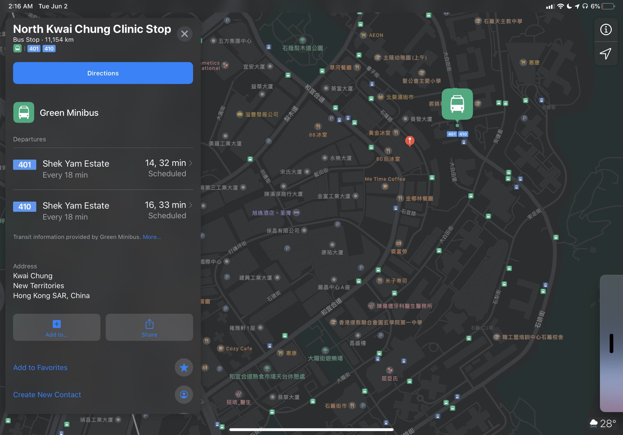
Residents of Hong Kong can now use Apple Maps to get transit directions via the built-in Maps app on their iPhone, iPad, iPod touch, Mac and Apple Watch.
According to Twitter user @happyETwmc who first spotted this, residents of Hong Kong can now use Apple Maps to search and get transit directions for metro trains, buses and ferries.
The only limitation appears to be a lack of indoor station mapping. The metropolitan area is one location in Asia where hints of transit support surfaced months ago. However, Apple’s Hong Kong mapping has been a complicated issue because of the administrative region’s self-governance and autonomy disputes with mainland China.
Ata Distance has more on that, noting that the Cupertino tech giant is using a pair of mapping data providers for the Hong Kong area: AutoNavi’s map data is being utilized on iPhones sold in mainland China while another provider is used for non-mainland iPhones.
“This led to an unusual situation in which transit directions where available to Chinese visitors but not to residents of Hong Kong,” said MacRumors. Apple did not update its iOS Feature Availability webpage at post time to reflect that transit directions are now live in Hong Kong.
Apple has another treat for Hong Kong residents as it yesterday began integrating the popular transit and retail Octopus card with Apple Pay, allowing people to pay for their public transit journeys just by holding an iPhone or Apple Watch close to the contactless NFC terminal.
Do you use transit directions on Apple Maps? If so, what has your experience been like so far?
Let us know in the commenting section down below.