Apple is assembling a team of robotics and mapping experts that will use data-collecting drones to capture and update Maps information faster than its existing fleet of minivans that use cameras and other sensors to collect Maps data.
The company has reportedly hired at least one person from Amazon’s Prime Air division to help run the drone team, which is being assembled in Seattle. In addition, Apple is working on a brand new indoor view in Maps.
Indoor features would use pressure sensors, GPS, Wi-Fi and Bluetooth in latest iPhones to let users easily navigate indoor areas such as airports, museums and other high-traffic buildings, Bloomberg’s Mark Gurman and Alan Levin reported Thursday.
The drone initiative is “unlikely to be related to a commercial Apple drone product,” reports Bloomberg. What Apple wants to do instead is fly commercially available drones from firms like SZ DJI Technology and Aibotix to examine street signs, track changes to roads and monitor if areas are under construction, the report states.
The iPhone maker reportedly filed for an exemption on September 21 from the Federal Aviation Administration (FAA) to commercially operate drones. The FAA granted Apple approval to “operate an unmanned aircraft system to conduct data collection, photography and videography,” according to documents obtained by Bloomberg.
Official FAA guidelines for commercial drones, instated in August, restrict flying to daytime hours and require licensed pilots to operate drones. Apple committed to these guidelines, FAA documents reveal. Current FAA rules restrict commercial drones from flying over people and buildings.
“Apple could meanwhile fly the drones in the United States within FAA guidelines and fly without restriction in countries without commercial drone regulations,” reads the article.
According to Bloomberg, Apple snapped up startup Indoor.io in 2015 to help bring the indoor mapping project to market. It also acquired WiFiSlam in 2013, another startup with indoor navigation expertise.
Beyond a more accurate Maps with indoor location tracking, Apple is also developing better guidance in Maps for changing lanes while driving. The new views inside buildings and improvements to car navigation should launch some time in 2017.
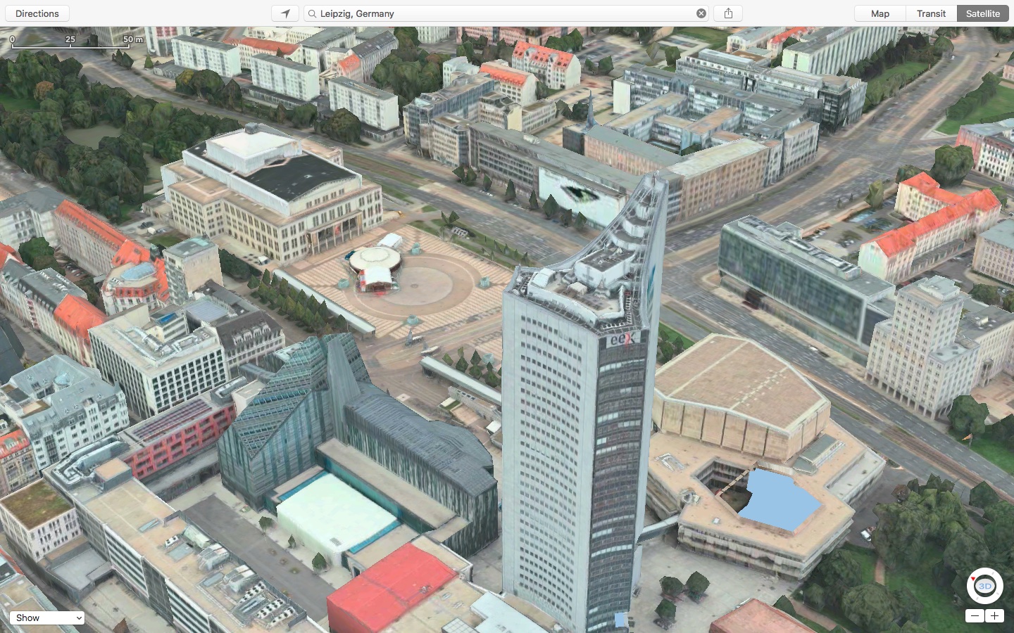
Since Maps’ inception, Apple’s been using a fleet of specialized airplanes outfitted with multiple cameras to capture three-dimensional views of major landmarks and cities across the globe, known as the Flyover feature in Maps.
Source: Bloomberg